Agriculture & agritech
Powering Precision Agriculture Through High-Quality AI Data
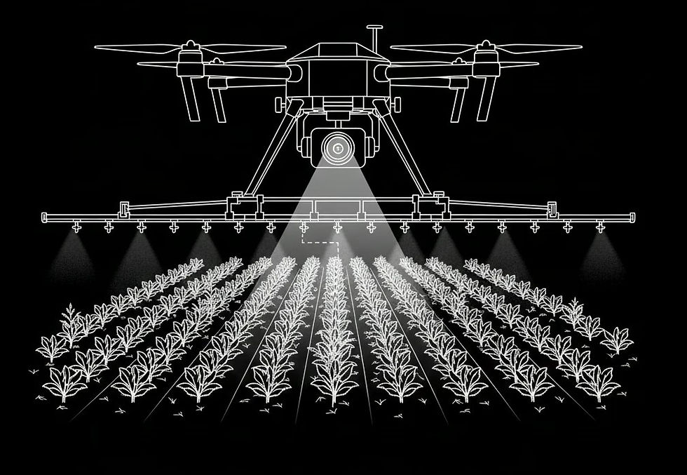
From crop monitoring and precision farming to yield prediction and autonomous agriculture, Anotag helps agriculture and agritech organizations build accurate, scalable, and AI-ready systems that improve productivity, sustainability, and operational efficiency.
Improve Agricultural Intelligence
We create structured datasets that enhance crop health monitoring, field analysis, and precision farming decision-making.
Accelerate Agritech Innovation
Our scalable data workflows help organizations deploy intelligent agriculture solutions faster and with greater confidence.
Enabling Smarter Farming Through Reliable Data and Agricultural Intelligence
Enabling Smarter Farming Through Reliable Data and Agricultural Intelligence
99%+
Agricultural Data Quality
High-quality datasets improve crop monitoring, yield forecasting, and precision agriculture outcomes.
1M+
Agricultural Assets Processed
Structured datasets support crop analysis, field intelligence, and large-scale farming operations.
10+
Agricultural Data Modalities
Supporting drone imagery, satellite data, sensors, weather information, and field analytics.
24/7
Agritech Data Operations
Scalable workflows support continuous agricultural monitoring and precision farming initiatives.
A Structured Approach to Agricultural AI Data Operations
A Structured Approach to Agricultural AI Data Operations
Our process combines agricultural expertise, scalable workflows, and rigorous quality assurance to create reliable datasets that support precision farming, crop intelligence, yield forecasting, and agritech innovation. Every stage is designed to improve productivity, sustainability, and operational efficiency.
Ready to Accelerate Agritech Innovation with High-Quality Data?
Helping Agricultural Organizations Improve Productivity, Sustainability, and Operational Efficiency
Helping Agricultural Organizations Improve Productivity, Sustainability, and Operational Efficiency
Built for Media Data Complexity, Audience Intelligence, and Scale
Built for Media Data Complexity, Audience Intelligence, and Scale
Protecting Agricultural Data Through Secure and Scalable Operations
Protecting Agricultural Data Through Secure and Scalable Operations
ISO 27001 Aligned
Enterprise-grade security controls protect agricultural datasets, farm intelligence, and operational environments.
NDA + Restricted Access
Authorized personnel access sensitive agricultural information through controlled and monitored environments only.
Audit-Ready Processes
Documentation and controls support governance, accountability, compliance, and operational transparency requirements.
AES-256 Encrypted Transfers
Sensitive agricultural data remains protected during storage, processing, and secure data transfers.
Secure Data Workspaces
Isolated environments safeguard farm intelligence, research initiatives, and agricultural AI development programs.
Continuous Monitoring
Proactive monitoring protects agricultural infrastructure, farming systems, and AI operations.
Accelerate Agricultural Innovation with Trusted AI Data
Improve crop intelligence, yield forecasting, and precision farming outcomes with expertly curated agricultural datasets.
From crop monitoring and field analysis to autonomous farming and agritech innovation, Anotag delivers the data your agricultural AI needs. Book a demo today and accelerate innovation with confidence.